Mono Lake
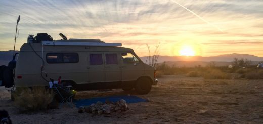
Arrived in Lee Vining I hit up the Mono Lake visitors center for info on what to do and where to camp for the night. It was clear that I could pull over and camp just about anywhere unless specifically marked. It was all BLM land around Mono Lake, and there were two National Forests within a few miles of town just to solidify it. I was advised to visit the South Tufa site which was on the way to the National Forest dispersed camping areas in hwy 120 east.
The Tufa is what I know of Mono Lake. It is what I have seen on TV and pictures and I was happy that it was on the top of the list to visit. Upon arriving, I was surprised how large Mono lake is, but how small the tufa sites are. I figured it would spread across and around the lake, but it was only in small pockets here and there. This was one of the largest and only covered a 2-3 acre area of land.
Upon reading the plaques during my hike to and into the tufa it became clear why; In the 1940’s the lake had much more water in it. These tufa, though 15 feet tall to me, were all underwater during that time. Since then, the all-wise government decided to send much of the water that feeds Mono Lake off to L.A. so those idiots can have green grass in what is essentially a desert (grr!). By the 60’s the water was at it’s lowest and dropping as the lake was not getting it’s natural feed of water from the mountains. The water receded so much that now the tufa sits above the water line, complete exposed.
They have since reversed the decision to send this water to L.A. (yay!) and even required L.A. to pay for all the damage done to the lake, streams, and forests that were damaged during these decades of idiocy. I’m sure they will just take it from the K-12 eduction budget. Anyway… the water has increased by 12 feet in the recent years, though they still have a long way to go to reach even 1960’s levels (that is the goal). I had to hike about 3/4 a mile from the parking lot (1940’s water-line) to the water today. The 1960’s line would make that a 1/4 mile hike.


