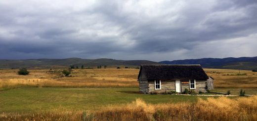
Charleston, AZ ghost town
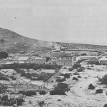
Charleston is a ghost town just north-east of Sierra Vista. It was occupied from the late-1870s through the late-1880s, and was located in what was then known as the Arizona Territory. Located on the west bank of the San Pedro River, Charleston’s economy was based on milling silver ore.
Pat & Nancy showed me where this old ghost town is on the map, and it seemed easy enough… just a 1-mile hike along the San Pedro River and “look up the cliff”, so I headed out for an afternoon stroll to see yet another ghost town in Arizona.
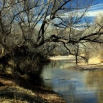
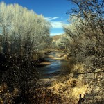 The hike itself was not a difficult one, although it does come with it’s own challenges; namely the tall grasses and bushes that attempt to kill you as you walk past. The grass doesn’t sound like much of a challenge, but if you had just come from the McCarrell’s where we talked about how many rattlesnake sightings they have had recently, I could only imagine how many rattlesnakes I was walking past without getting ‘rattled’. It wasn’t a matter of *if* a snake was nearby, it was all but guaranteed. But, I did not get rattled, and I did not get bitten either… at least not by any snakes. The brush was a whole different story! Any bush or tree higher than your knee, comes armed with hundreds of weapons and I swear they reach out to you. You can not escape getting a few thorns in your clothing and some in your skin. Why does everything in Arizona want to kill me?
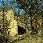
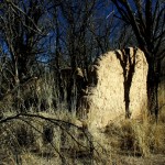 As the River turned east I knew Charleston was up the 30 foot bank that the River had cut. Luckily I stumbled upon where many other hikers had scrambled up this sandy cliff so it wasn’t too bad for me. Once up there though, it was just a thick forest of mesquite and killer bushes. The trail, though still visible, seemed not to care that it brought me directly through heavy brush. Right as I began to doubt the trail was leading me to Charleston, up popped an adobe wall out of the forest. There I stood, only 20 feet away from Charleston before I was able to see it, and even then it was only a single wall. It took another 30 minutes of searching around to find more walls here and there. They were scattered enough that only one could be in view at any given time, which also prevented me from getting the sense that there was an entire community here.
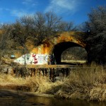
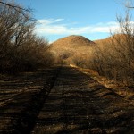 I left, heading directly East to cross the river, scale up the old train trestle, and used the tracks (actually the tracks were removed, but a long span of rock still remained) as my guide back out of the area. It actually led me directly to the parking area and in half the distance.
